
Carte topographique Williams Island
Carte interactive
Cliquez sur la carte pour afficher l’altitude.
À propos de cette carte
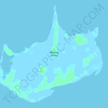
Nom : Carte topographique Williams Island, altitude, relief.
Lieu : Williams Island, North Andros, The Bahamas (24.63335 -78.48368 24.68018 -78.42669)
Altitude moyenne : 0 m
Altitude minimum : -3 m
Altitude maximum : 6 m
Autres cartes topographiques
Cliquez sur une carte pour visualiser sa topographie, son altitude et son relief.