
Carte topographique Lac Son Koul
Carte interactive
Cliquez sur la carte pour afficher l’altitude.
À propos de cette carte
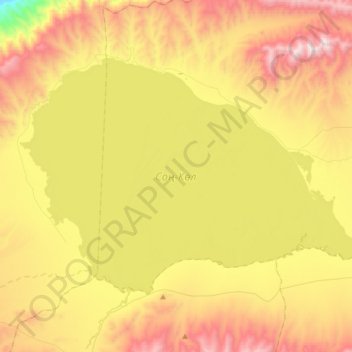
Nom : Carte topographique Lac Son Koul, altitude, relief.
Lieu : Lac Son Koul, Province de Naryn, Kirghizistan (41.75900 75.00875 41.92380 75.33771)
Altitude moyenne : 3 095 m
Altitude minimum : 2 388 m
Altitude maximum : 3 846 m
Le lac Son Koul (en kirghiz Соң-Көл, Soñ-Köl) est un lac de haute montagne du Kirghizistan, situé dans le massif des Tian Shan, à l'altitude de 3 016 m, au nord-ouest de la ville de Naryn.
Autres cartes topographiques
Cliquez sur une carte pour visualiser sa topographie, son altitude et son relief.
Makmal
Kirghizistan > Province de Naryn
Makmal, Province de Naryn, Kirghizistan
Altitude moyenne : 2 555 m
Naryn
Kirghizistan > Province de Naryn > Naryn
Naryn, Province de Naryn, Kirghizistan
Altitude moyenne : 2 380 m
Кум-Дөбө
Kirghizistan > Province de Naryn
Кум-Дөбө, Province de Naryn, Kirghizistan
Altitude moyenne : 1 914 m