
Carte topographique Val de San Vicente
Carte interactive
Cliquez sur la carte pour afficher l’altitude.
À propos de cette carte
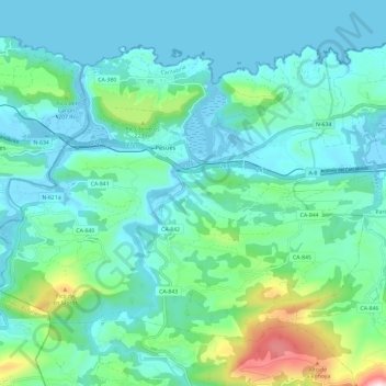
Nom : Carte topographique Val de San Vicente, altitude, relief.
Lieu : Val de San Vicente, Costa Occidental, Cantabria, Spain (43.33156 -4.53946 43.39781 -4.42114)
Altitude moyenne : 97 m
Altitude minimum : -7 m
Altitude maximum : 538 m