
Carte topographique Sagwara
Carte interactive
Cliquez sur la carte pour afficher l’altitude.
Sagwara
Sagwara is located in the east-central Dungarpur district, in Sagwara Tehsil. It has an average elevation of 244 metres (801 ft). Sagwara is famous for its sculpture, marble carving, temple architecture and gold jewelry. It is a major trading hub for nearby villages.
À propos de cette carte
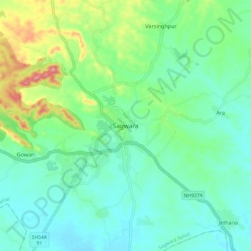
Nom : Carte topographique Sagwara, altitude, relief.
Altitude moyenne : 177 m
Altitude minimum : 138 m
Altitude maximum : 291 m