
Carte topographique Scott City
Carte interactive
Cliquez sur la carte pour afficher l’altitude.
Scott City
According to the United States Census Bureau, the city has a total area of 2.63 square miles (6.81 km2), all land. It is located in the Great Plains and at the elevation of 2979 ft.
À propos de cette carte
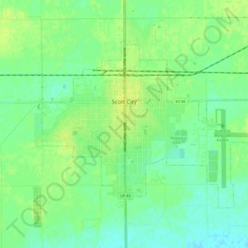
Nom : Carte topographique Scott City, altitude, relief.
Lieu : Scott City, Scott County, Kansas, 67871, United States (38.46398 -100.92538 38.49309 -100.87013)
Altitude moyenne : 903 m
Altitude minimum : 894 m
Altitude maximum : 910 m