
Carte topographique Rajsamand
Cliquez sur la carte pour afficher l’altitude.
Rajsamand
Rajsamand is located at 25°04′N 73°53′E / 25.07°N 73.88°E / 25.07; 73.88. It has an average elevation of 547 metres (1794 ft).
À propos de cette carte
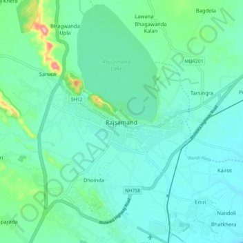
Nom : Carte topographique Rajsamand, altitude, relief.
Altitude moyenne : 552 m
Altitude minimum : 523 m
Altitude maximum : 686 m