
Carte topographique Owl Canyon
Carte interactive
Cliquez sur la carte pour afficher l’altitude.
À propos de cette carte
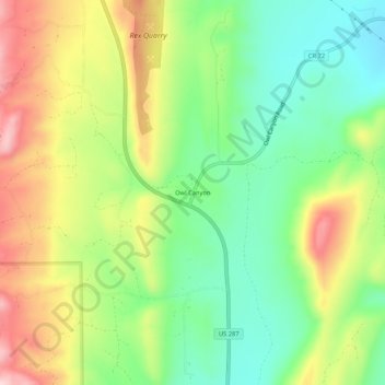
Nom : Carte topographique Owl Canyon, altitude, relief.
Lieu : Owl Canyon, Larimer County, Colorado, USA (40.74248 -105.19554 40.78248 -105.15554)
Altitude moyenne : 1 781 m
Altitude minimum : 1 670 m
Altitude maximum : 1 935 m