
Carte topographique Colby
Carte interactive
Cliquez sur la carte pour afficher l’altitude.
Colby
Colby is located at 39°23′32″N 101°02′51″W / 39.392093°N 101.047532°W / 39.392093; -101.047532 (39.392093, -101.047532) at an elevation of 3,159 feet (963 m). It lies on the south side of Prairie Dog Creek, a tributary of the Republican River, in the High Plains region of the Great Plains. A small tributary of the creek flows northeast through the town. Located at the interchange of Interstate 70 and K-25 in northwestern Kansas, Colby is 212 mi (341 km) east-southeast of Denver, 232 mi (373 km) northwest of Wichita, and 347 mi (558 km) west of Kansas City.
À propos de cette carte
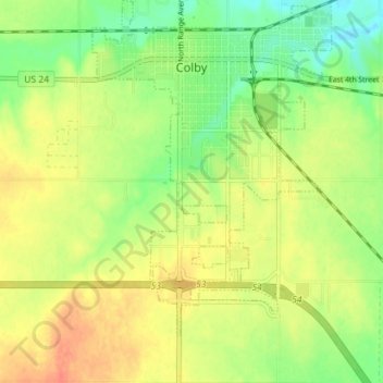
Nom : Carte topographique Colby, altitude, relief.
Lieu : Colby, Thomas County, Kansas, 67701, United States (39.35076 -101.07105 39.40552 -101.00097)
Altitude moyenne : 970 m
Altitude minimum : 946 m
Altitude maximum : 992 m