
Carte topographique Myombe
Carte interactive
Cliquez sur la carte pour afficher l’altitude.
À propos de cette carte
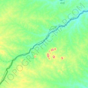
Nom : Carte topographique Myombe, altitude, relief.
Lieu : Myombe, Iringa, Southern Highlands Zone, Tanzanie (-7.10823 34.65126 -6.91508 34.89761)
Altitude moyenne : 1 087 m
Altitude minimum : 1 027 m
Altitude maximum : 1 280 m
Autres cartes topographiques
Cliquez sur une carte pour visualiser sa topographie, son altitude et son relief.