
Carte topographique Alpendorf
Carte interactive
Cliquez sur la carte pour afficher l’altitude.
Alpendorf
Alpendorf (German for alpine village) is a village and a part of the town St. Johann im Pongau. It is 55 km (34 mi) south of the Austrian city of Salzburg. It is at an altitude of 850 m (2,790 ft) above sea level.
À propos de cette carte
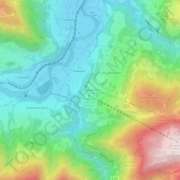
Nom : Carte topographique Alpendorf, altitude, relief.
Altitude moyenne : 880 m
Altitude minimum : 559 m
Altitude maximum : 1 586 m