
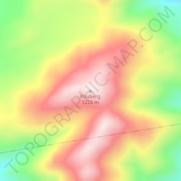
Carte topographique Kouberg
Carte interactive
Cliquez sur la carte pour afficher l’altitude.
À propos de cette carte
Nom : Carte topographique Kouberg, altitude, relief.
Altitude moyenne : 1 014 m
Altitude minimum : 745 m
Altitude maximum : 1 230 m
Autres cartes topographiques
Cliquez sur une carte pour visualiser sa topographie, son altitude et son relief.
Nama Khoi Local Municipality
RSA > Northern Cape > Nama Khoi Local Municipality
Nama Khoi Local Municipality, Namakwa District Municipality, Northern Cape, 8240, RSA
Altitude moyenne : 703 m
Eenriet
RSA > Northern Cape > Nama Khoi Local Municipality
Eenriet, Oerknoep, Nama Khoi Ward 2, Nama Khoi Local Municipality, Namakwa District Municipality, Northern Cape, RSA
Altitude moyenne : 1 010 m