
Carte topographique สวนสาธารณะอำเภอแกลง
Carte interactive
Cliquez sur la carte pour afficher l’altitude.
À propos de cette carte
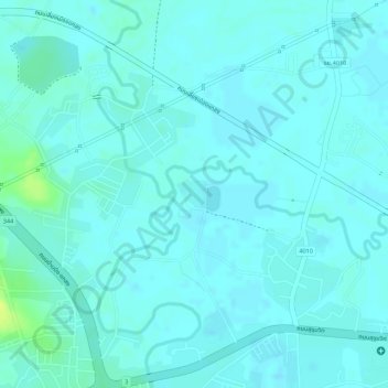
Nom : Carte topographique สวนสาธารณะอำเภอแกลง, altitude, relief.
Lieu : สวนสาธารณะอำเภอแกลง, แกลง, บ้านนา, Rayong, Thaïlande (12.79528 101.65584 12.79741 101.65799)
Altitude moyenne : 4 m
Altitude minimum : -1 m
Altitude maximum : 20 m