
Carte topographique Владимировац
Carte interactive
Cliquez sur la carte pour afficher l’altitude.
À propos de cette carte
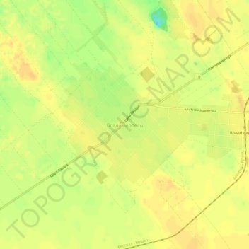
Nom : Carte topographique Владимировац, altitude, relief.
Lieu : Владимировац, Јужнобанатски управни округ, Voïvodine, Serbie (45.01188 20.84540 45.05188 20.88540)
Altitude moyenne : 143 m
Altitude minimum : 122 m
Altitude maximum : 151 m