
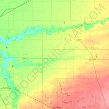
Carte topographique Middle Fork of Wildcat Creek
Carte interactive
Cliquez sur la carte pour afficher l’altitude.
À propos de cette carte
Nom : Carte topographique Middle Fork of Wildcat Creek, altitude, relief.
Altitude moyenne : 215 m
Altitude minimum : 174 m
Altitude maximum : 256 m
Autres cartes topographiques
Cliquez sur une carte pour visualiser sa topographie, son altitude et son relief.
Maple Lane
USA > Indiana > Maple Lane
Maple Lane, Saint Joseph County, Indiana, 46617:46635, USA
Altitude moyenne : 229 m
Mount Etna
USA > Indiana > Mount Etna
Mount Etna, Huntington County, Indiana, USA
Altitude moyenne : 245 m