
Carte topographique Банатско Велико Село
Carte interactive
Cliquez sur la carte pour afficher l’altitude.
À propos de cette carte
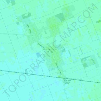
Nom : Carte topographique Банатско Велико Село, altitude, relief.
Altitude moyenne : 79 m
Altitude minimum : 76 m
Altitude maximum : 83 m
Autres cartes topographiques
Cliquez sur une carte pour visualiser sa topographie, son altitude et son relief.
Санад
Serbie > Voïvodine > Севернобанатски управни округ > Општина Чока
Санад, Општина Чока, Севернобанатски управни округ, Voïvodine, 24400, Serbie
Altitude moyenne : 80 m