
Carte topographique Chatto
Carte interactive
Cliquez sur la carte pour afficher l’altitude.
À propos de cette carte
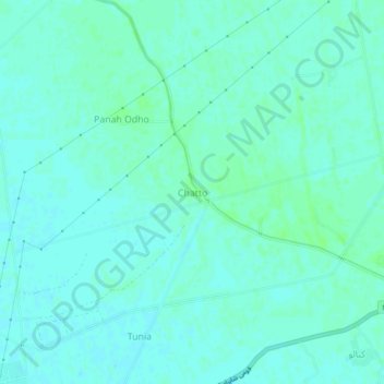
Nom : Carte topographique Chatto, altitude, relief.
Lieu : Chatto, Shikārpur District, Sindh, Pakistan (27.92196 68.50917 27.96196 68.54917)
Altitude moyenne : 59 m
Altitude minimum : 56 m
Altitude maximum : 63 m
Autres cartes topographiques
Cliquez sur une carte pour visualiser sa topographie, son altitude et son relief.
Chak
Pakistan > Sindh > Shikārpur District
Chak, Lakhi Taluka, Shikarpur District, Larkana Division, Sindh, Pakistan
Altitude moyenne : 64 m