
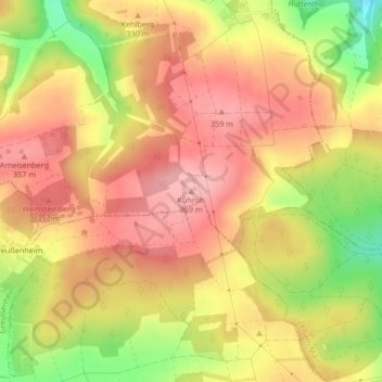
Carte topographique Kühruh
Carte interactive
Cliquez sur la carte pour afficher l’altitude.
À propos de cette carte
Nom : Carte topographique Kühruh, altitude, relief.
Lieu : Kühruh, Leinach, Landkreis Würzburg, Bayern, 97265, Deutschland (49.82756 9.82103 49.82766 9.82113)
Altitude moyenne : 317 m
Altitude minimum : 232 m
Altitude maximum : 367 m
Autres cartes topographiques
Cliquez sur une carte pour visualiser sa topographie, son altitude et son relief.
Leinach
Deutschland > Bayern > Landkreis Würzburg > Leinach
Leinach, Landkreis Würzburg, Bayern, 97274, Deutschland
Altitude moyenne : 284 m