
Carte topographique Drousha
Carte interactive
Cliquez sur la carte pour afficher l’altitude.
Drousha
Drousia or Drouseia or Droushia, one of the smallest villages in the mountainous area of Paphos, built at the highest point of the plateau of Laona, is located on the western side of the island. The settlement seems to have taken its name from the word “drosia” (meaning coolness, temperature-wise in Greek), since because of its altitude and its relatively short distance from Akamas, it remains a cool destination even during the summer months.
À propos de cette carte
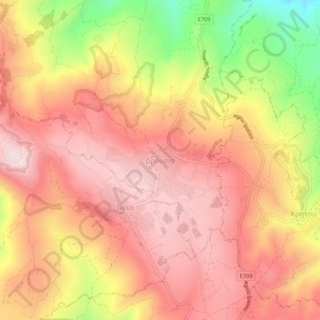
Nom : Carte topographique Drousha, altitude, relief.
Lieu : Drousha, Drouseia, Paphos District, Cyprus, 8700, Cyprus (34.94226 32.37865 34.98226 32.41865)
Altitude moyenne : 517 m
Altitude minimum : 238 m
Altitude maximum : 670 m