
Carte topographique № 5 Dry Dock
Carte interactive
Cliquez sur la carte pour afficher l’altitude.
À propos de cette carte
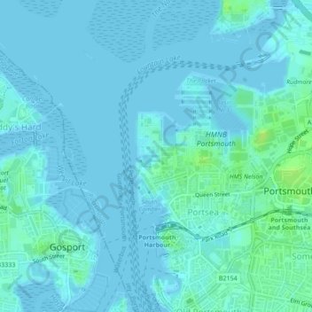
Nom : Carte topographique № 5 Dry Dock, altitude, relief.
Lieu : № 5 Dry Dock, Portsea, Portsmouth, England, United Kingdom (50.80295 -1.10951 50.80318 -1.10838)
Altitude moyenne : 2 m
Altitude minimum : -3 m
Altitude maximum : 11 m
Autres cartes topographiques
Cliquez sur une carte pour visualiser sa topographie, son altitude et son relief.
Portsmouth
United Kingdom > England > Portsmouth
Portsmouth, South East England, England, United Kingdom
Altitude moyenne : 6 m
Portsmouth
United Kingdom > England > Portsmouth
Portsmouth, South East, England, PO1 5QH, United Kingdom
Altitude moyenne : 28 m