
Carte topographique Węgrów
Carte interactive
Cliquez sur la carte pour afficher l’altitude.
À propos de cette carte
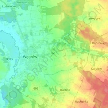
Nom : Carte topographique Węgrów, altitude, relief.
Lieu : Węgrów, Węgrów County, Masovian Voivodeship, 07-100, Poland (52.36112 21.97019 52.44051 22.08909)
Altitude moyenne : 138 m
Altitude minimum : 116 m
Altitude maximum : 178 m