

Carte topographique Warrior
Cliquez sur la carte pour afficher l’altitude.
Warrior
Warrior is in the Central time zone. The elevation at the center of town is 564 feet (172 m), though it ranges from over 620 feet (190 m) north of the center to less than 300 feet (91 m) along the Locust Fork of the Black Warrior River, which forms the southern boundary of the city.
À propos de cette carte

Nom : Carte topographique Warrior, altitude, relief.
Lieu : Warrior, Jefferson County, Alabama, 35180, United States (33.78290 -86.86202 33.84149 -86.76964)
Altitude moyenne : 141 m
Altitude minimum : 91 m
Altitude maximum : 232 m
Autres cartes topographiques
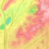
Cliquez sur une carte pour visualiser sa topographie, son altitude et son relief.


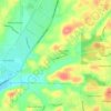







Crestline Heights
United States > Alabama > Jefferson County > Mountain Brook
Altitude moyenne : 241 m


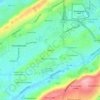
Sumpter Smith Air National Guard Base
United States > Alabama > Jefferson County > Birmingham > Airport Highlands
Altitude moyenne : 203 m

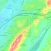
Roebuck Crest Estates
United States > Alabama > Jefferson County > Birmingham
Altitude moyenne : 233 m


