
Carte topographique Pico da Bandeira
Carte interactive
Cliquez sur la carte pour afficher l’altitude.
Pico da Bandeira
Pico da Bandeira is also remarkable for being the Brazilian mountain with the greatest topographic isolation: 2,344 km (1,457 miles). This means that at less than that distance, there is no other point on the surface of the Earth at equal or greater elevation. In the Americas, only Aconcagua, Denali, Pico de Orizaba and Mount Whitney are more topographically isolated than Pico da Bandeira, and in the entire world, there are only 20 more isolated mountains.
À propos de cette carte
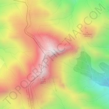
Nom : Carte topographique Pico da Bandeira, altitude, relief.
Altitude moyenne : 2 488 m
Altitude minimum : 1 976 m
Altitude maximum : 2 865 m