
Carte topographique Slide Mountain Wilderness
Carte interactive
Cliquez sur la carte pour afficher l’altitude.
À propos de cette carte
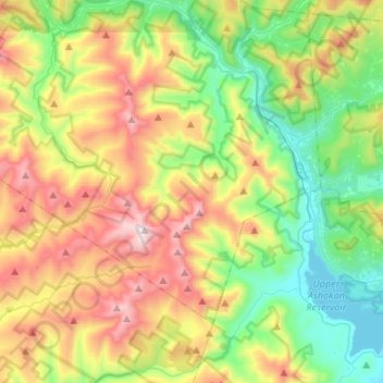
Nom : Carte topographique Slide Mountain Wilderness, altitude, relief.
Altitude moyenne : 584 m
Altitude minimum : 174 m
Altitude maximum : 1 262 m
Within its boundaries lie 10 of the 35 Catskill High Peaks, including the highest Catskill peak, Slide, 4,180 feet (1277 m) of elevation; and lowest, Rocky.