
Carte topographique Willeskop
Carte interactive
Cliquez sur la carte pour afficher l’altitude.
À propos de cette carte
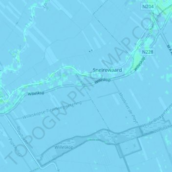
Nom : Carte topographique Willeskop, altitude, relief.
Lieu : Willeskop, Montfoort, Utrecht, Nederland, 3425 TC, Nederland (52.00361 4.88886 52.04361 4.92886)
Altitude moyenne : -1 m
Altitude minimum : -5 m
Altitude maximum : 3 m
Willeskop is sinds 2002 ook een nieuw natuurontwikkelingsgebied dat in de Lopikerwaard ter hoogte van de Bloklandse Dijk ligt.
Autres cartes topographiques
Cliquez sur une carte pour visualiser sa topographie, son altitude et son relief.
Huis Te Linschoten
Nederland > Utrecht > Montfoort
Huis Te Linschoten, Montfoort, Utrecht, Nederland, 3461AC, Nederland
Altitude moyenne : 0 m