
Carte topographique Foothills
Carte interactive
Cliquez sur la carte pour afficher l’altitude.
À propos de cette carte
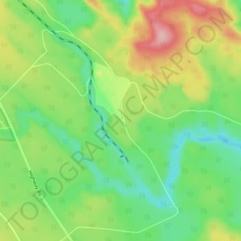
Nom : Carte topographique Foothills, altitude, relief.
Lieu : Foothills, Yellowhead County, Alberta, Kanada (53.04667 -116.80333 53.08667 -116.76333)
Altitude moyenne : 1 401 m
Altitude minimum : 1 343 m
Altitude maximum : 1 496 m