
Carte topographique Sluis
Carte interactive
Cliquez sur la carte pour afficher l’altitude.
À propos de cette carte
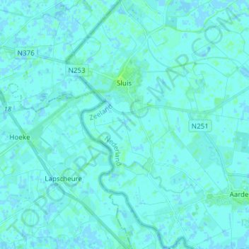
Nom : Carte topographique Sluis, altitude, relief.
Lieu : Sluis, Zeeland, Netherlands (51.25666 3.35838 51.33416 3.43688)
Altitude moyenne : 1 m
Altitude minimum : -2 m
Altitude maximum : 7 m
Autres cartes topographiques
Cliquez sur une carte pour visualiser sa topographie, son altitude et son relief.
Oostbeer
Netherlands > Zeeland > Philippine
Oostbeer, Philippine, Terneuzen, Zeeland, Netherlands
Altitude moyenne : 1 m
Zeeuws-Vlaanderen
Netherlands > Zeeland > Terneuzen
Zeeuws-Vlaanderen, Terneuzen, Zeeland, Netherlands, 4542RZ, Netherlands
Altitude moyenne : 0 m