
Carte topographique Ciliwung
Carte interactive
Cliquez sur la carte pour afficher l’altitude.
À propos de cette carte
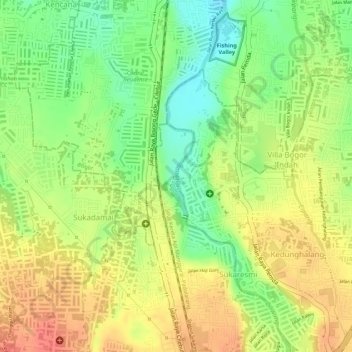
Nom : Carte topographique Ciliwung, altitude, relief.
Altitude moyenne : 181 m
Altitude minimum : 148 m
Altitude maximum : 206 m
Mean rainfall reaches 3,125 mm, with a mean annual discharge of 16 m3/s as measured at Ciliwung Ratujaya observation station (231 km2). With such topographical, geological, and hydrological features, the Ciliwung River is often overflowing and inundating parts of Jakarta. The population along the Ciliwung River basin reaches 4.088 million (Census 2000) which can be regarded as the most densely populated area.
Autres cartes topographiques
Cliquez sur une carte pour visualiser sa topographie, son altitude et son relief.