
Carte topographique Hopland
Carte interactive
Cliquez sur la carte pour afficher l’altitude.
À propos de cette carte
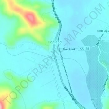
Nom : Carte topographique Hopland, altitude, relief.
Lieu : Hopland, Mendocino County, California, United States (38.96334 -123.12672 38.97641 -123.11028)
Altitude moyenne : 165 m
Altitude minimum : 139 m
Altitude maximum : 314 m
Hopland (formerly Sanel) is a census-designated place in Mendocino County, California, United States. It is located on the west bank of the Russian River 13 miles (21 km) south-southeast of Ukiah, in the Sanel Valley, at an elevation of 502 feet (153 m). The population was 661 at the 2020 census, down from 756 at the 2010 census.