
Carte topographique Harzgerode
Cliquez sur la carte pour afficher l’altitude.
À propos de cette carte
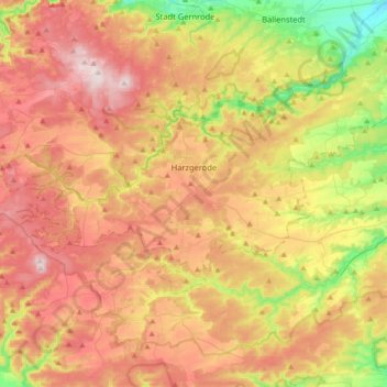
Nom : Carte topographique Harzgerode, altitude, relief.
Lieu : Harzgerode, Landkreis Harz, Saxony-Anhalt, Germany (51.56605 10.89704 51.68016 11.25252)
Altitude moyenne : 378 m
Altitude minimum : 159 m
Altitude maximum : 587 m
Autres cartes topographiques
Cliquez sur une carte pour visualiser sa topographie, son altitude et son relief.
Brocken
Germany > Saxony-Anhalt > Landkreis Harz > Wernigerode
The Brocken (German pronunciation: [ˈbʁɔkn̩] ), also sometimes referred to as the Blocksberg, is a 1,141 m (3,743 ft) mountain near Schierke in the German state of Saxony-Anhalt, between the rivers Weser and Elbe. The highest peak in the Harz mountain range, and in Northern Germany, it is subalpine, yet…
Altitude moyenne : 963 m