
Carte topographique Town of Red House / Jóë́’hesta’
Carte interactive
Cliquez sur la carte pour afficher l’altitude.
À propos de cette carte
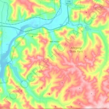
Nom : Carte topographique Town of Red House / Jóë́’hesta’, altitude, relief.
Altitude moyenne : 545 m
Altitude minimum : 399 m
Altitude maximum : 730 m