
Carte topographique Sardulgarh
Carte interactive
Cliquez sur la carte pour afficher l’altitude.
Sardulgarh
Sardulgarh is located in the south region of Punjab State. The longitude and latitude at 29.697°N 75.238752°E. It has an average elevation of 210 metres (688 feet). It is a city located around the bank of River Ghagar. It is surrounded and touch the border of Haryana State from 3 sides. Its boundary touches to 3 districts (Bathinda, Sirsa and Fatehabad).
À propos de cette carte
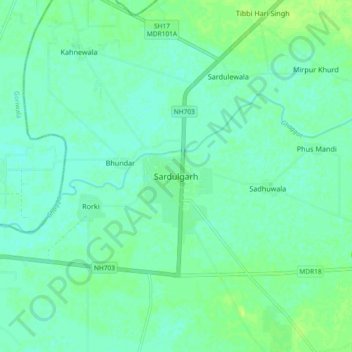
Nom : Carte topographique Sardulgarh, altitude, relief.
Altitude moyenne : 209 m
Altitude minimum : 204 m
Altitude maximum : 216 m