
Faire un don
Équipez-vous pour votre prochaine aventure :
En tant que Partenaire Amazon, ce site perçoit une commission sur les achats éligibles sans surcoût pour vous.
Carte topographique Dah
Cliquez sur la carte pour afficher l’altitude.
Faire un don
Équipez-vous pour votre prochaine aventure :
En tant que Partenaire Amazon, ce site perçoit une commission sur les achats éligibles sans surcoût pour vous.
Dah
Traveling up the Dah stream, there are several summer habitations, which the inhabitants of Dha occupy for a short time or longer depending on their elevation. While descending, the first areas to appear are Dunder, Cilgiadi, and Cumavcings, which has cultivated fields. The valley stretching along the Dah stream to its source is a large area. In ancient times, this area was the Minaro summer pasture Nirda. The Nirda pasture is a lovely location. Brokpa worship a large juniper tree festooned with prayer flags as Chilligi Deuha, a shrine (juniper shrine).
Faire un don
Équipez-vous pour votre prochaine aventure :
En tant que Partenaire Amazon, ce site perçoit une commission sur les achats éligibles sans surcoût pour vous.
À propos de cette carte
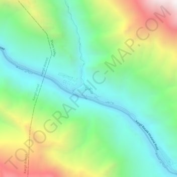
Nom : Carte topographique Dah, altitude, relief.
Lieu : Dah, Khalsi tehsil, Leh, Ladakh, India (34.60381 76.46042 34.64381 76.50042)
Altitude moyenne : 3 301 m
Altitude minimum : 2 686 m
Altitude maximum : 4 554 m
Faire un don
Équipez-vous pour votre prochaine aventure :
En tant que Partenaire Amazon, ce site perçoit une commission sur les achats éligibles sans surcoût pour vous.