
Carte topographique Sosnowiec
Carte interactive
Cliquez sur la carte pour afficher l’altitude.
Sosnowiec
For Sosnowiec's 100th birthday, the downtown area was thoroughly rebuilt, to harmonise its architectural layout and give the city a more modern image. In 2004 Sosnowiec authorities and designers were awarded the Grand Prix for the rebuilding of the downtown area in a competition for the best public space in the Śląskie Provinces. This investment had been accompanied by a program designed to improve the esthetic qualities of the city, under which a comprehensive program for unifying the colors of the elevations, and advertisements entitled “rainbow city” were introduced. Among the city districts there are.
À propos de cette carte
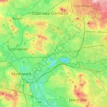
Nom : Carte topographique Sosnowiec, altitude, relief.
Altitude moyenne : 272 m
Altitude minimum : 225 m
Altitude maximum : 347 m