
Carte topographique Ancient and Primeval Beech Forests of the Carpathians and Other Regions of Europe
Carte interactive
Cliquez sur la carte pour afficher l’altitude.
À propos de cette carte
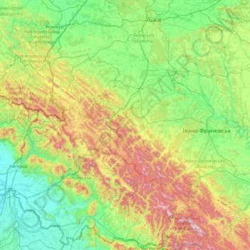
Nom : Carte topographique Ancient and Primeval Beech Forests of the Carpathians and Other Regions of Europe, altitude, relief.
Altitude moyenne : 467 m
Altitude minimum : 98 m
Altitude maximum : 2 008 m