
Carte topographique Road
Carte interactive
Cliquez sur la carte pour afficher l’altitude.
À propos de cette carte
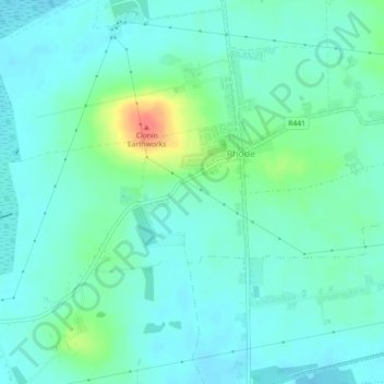
Nom : Carte topographique Road, altitude, relief.
Altitude moyenne : 87 m
Altitude minimum : 74 m
Altitude maximum : 131 m
Autres cartes topographiques
Cliquez sur une carte pour visualiser sa topographie, son altitude et son relief.
Dunville
Dunville, Ballyburly ED, The Municipal District of Edenderry, County Offaly, Leinster, Ireland
Altitude moyenne : 86 m
Down
Down, Mountbriscoe ED, The Municipal District of Edenderry, County Offaly, Leinster, Ireland
Altitude moyenne : 88 m
Clarkville
Clarkville, Monasteroris ED, The Municipal District of Edenderry, County Offaly, Leinster, Ireland
Altitude moyenne : 82 m