
Carte topographique Cordillera Central
Carte interactive
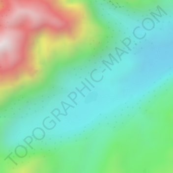
Cliquez sur la carte pour afficher l’altitude.
À propos de cette carte
Nom : Carte topographique Cordillera Central, altitude, relief.
Altitude moyenne : 3 706 m
Altitude minimum : 3 424 m
Altitude maximum : 4 285 m
The Cauca Valley montane forests ecoregion covers the western slope of the range. The Magdalena Valley montane forests cover the eastern slopes and the northern end of the cordillera. The Northern Andean páramo covers the highest elevations.
Autres cartes topographiques
Cliquez sur une carte pour visualiser sa topographie, son altitude et son relief.