
Carte topographique Faith Tabernacle Church Sto. Tomas
Carte interactive
Cliquez sur la carte pour afficher l’altitude.
À propos de cette carte
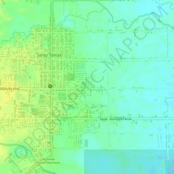
Nom : Carte topographique Faith Tabernacle Church Sto. Tomas, altitude, relief.
Altitude moyenne : 36 m
Altitude minimum : 26 m
Altitude maximum : 47 m
Autres cartes topographiques
Cliquez sur une carte pour visualiser sa topographie, son altitude et son relief.
San Vicente
Philippines > Davao del Norte > Santo Tomas
San Vicente, Santo Tomas, Davao del Norte, Davao Region, Philippines
Altitude moyenne : 10 m
Santo Tomas
Philippines > Davao del Norte > Santo Tomas
Santo Tomas, Davao del Norte, Davao Region, 8112, Philippines
Altitude moyenne : 46 m