
Carte topographique San Vicente Tancuayalab
Carte interactive
Cliquez sur la carte pour afficher l’altitude.
À propos de cette carte
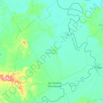
Nom : Carte topographique San Vicente Tancuayalab, altitude, relief.
Lieu : San Vicente Tancuayalab, San Luis Potosi, Mexico (21.66538 -98.73066 21.95990 -98.45470)
Altitude moyenne : 43 m
Altitude minimum : 6 m
Altitude maximum : 266 m