
Carte topographique Arokaya Park, 77th Anniversary of Kasetsart University
Carte interactive
Cliquez sur la carte pour afficher l’altitude.
À propos de cette carte
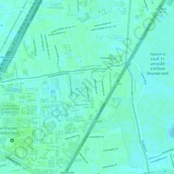
Nom : Carte topographique Arokaya Park, 77th Anniversary of Kasetsart University, altitude, relief.
Altitude moyenne : 5 m
Altitude minimum : 1 m
Altitude maximum : 8 m
Autres cartes topographiques
Cliquez sur une carte pour visualiser sa topographie, son altitude et son relief.