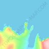
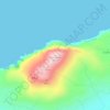
Carte topographique Clew Bay
Cliquez sur la carte pour afficher l’altitude.
À propos de cette carte
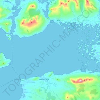
Nom : Carte topographique Clew Bay, altitude, relief.
Lieu : Clew Bay, County Mayo, Connacht, Ireland (53.76206 -9.94594 53.90557 -9.53904)
Altitude moyenne : 56 m
Altitude minimum : -1 m
Altitude maximum : 757 m
Autres cartes topographiques
Cliquez sur une carte pour visualiser sa topographie, son altitude et son relief.


Nephin
In Leabhar Fiachrach, a topographical and genealogical tract written by Giolla Iosa Mor Mac Fhirbhisigh about 1400, the areas early peoples and families are listed thus.
Altitude moyenne : 404 m