
Carte topographique Rowley Hills
Carte interactive
Cliquez sur la carte pour afficher l’altitude.
Rowley Hills
The largest hill, Turner's Hill, is the highest point in the West Midlands county, with an altitude of 269 metres (883 ft) above sea level. Views from the summit include the Clee Hills, Clent Hills, Cannock Chase, and much of Birmingham and the Black Country. The height has also led to the construction of two radio transmission towers on the summit.
À propos de cette carte
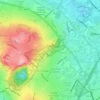
Nom : Carte topographique Rowley Hills, altitude, relief.
Altitude moyenne : 182 m
Altitude minimum : 129 m
Altitude maximum : 270 m