
Carte topographique Govt. Primary School
Carte interactive
Cliquez sur la carte pour afficher l’altitude.
À propos de cette carte
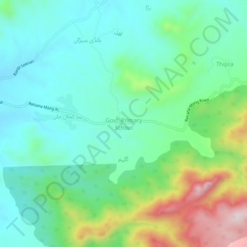
Nom : Carte topographique Govt. Primary School, altitude, relief.
Altitude moyenne : 721 m
Altitude minimum : 596 m
Altitude maximum : 1 045 m