
Carte topographique Harapanahalli
Carte interactive
Cliquez sur la carte pour afficher l’altitude.
À propos de cette carte
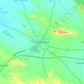
Nom : Carte topographique Harapanahalli, altitude, relief.
Altitude moyenne : 626 m
Altitude minimum : 584 m
Altitude maximum : 757 m
It has an average elevation of 633 metres (2076 feet) away from the sea level. Harapanahalli is surrounded by several districts like Davanagere in the South, Chithradurga in the Southeast, Haveri in the West. Harapanahalli had operated under Bellari, Davanagere districts and Now it is operating under Vijayanagara District.