
Carte topographique Minamiaiki
Carte interactive
Cliquez sur la carte pour afficher l’altitude.
À propos de cette carte
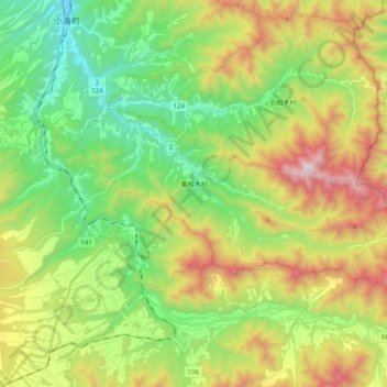
Nom : Carte topographique Minamiaiki, altitude, relief.
Altitude moyenne : 1 299 m
Altitude minimum : 838 m
Altitude maximum : 2 075 m
Minamiaiki is located in mountainous eastern Nagano Prefecture, bordered by Gunma Prefecture to the east. More than 90% of the village area is covered by mountains and forest, and the village is at an average altitude of between 1000 and 1200 meters. Minamiaiki Dam is located within this village.