
Carte topographique Bhachau (M)
Carte interactive
Cliquez sur la carte pour afficher l’altitude.
À propos de cette carte
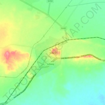
Nom : Carte topographique Bhachau (M), altitude, relief.
Altitude moyenne : 35 m
Altitude minimum : 7 m
Altitude maximum : 88 m
Bhachau is located at 23°17′N 70°21′E / 23.28°N 70.35°E / 23.28; 70.35. It has an average elevation of 41 metres (134 feet).