
Carte topographique Chautauqua Lake
Carte interactive
Cliquez sur la carte pour afficher l’altitude.
Chautauqua Lake
Chautauqua Lake, at an elevation of 1,308 feet (399 m) above sea level, is higher than any of the Finger Lakes. It is also one of the highest navigable lakes in North America. The lake's water level is regulated by Warner Dam, with the water level lifted during the summer to allow for recreational boat use and lowered during the winter months.
À propos de cette carte
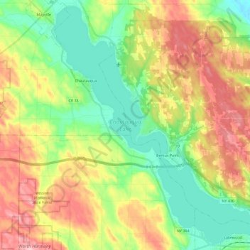
Nom : Carte topographique Chautauqua Lake, altitude, relief.
Altitude moyenne : 463 m
Altitude minimum : 384 m
Altitude maximum : 575 m