
Carte topographique Park Molenwijk
Carte interactive
Cliquez sur la carte pour afficher l’altitude.
À propos de cette carte
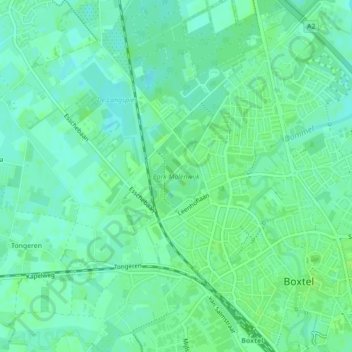
Nom : Carte topographique Park Molenwijk, altitude, relief.
Lieu : Park Molenwijk, Boxtel, Noord-Brabant, Nederland (51.59310 5.30613 51.59967 5.31325)
Altitude moyenne : 8 m
Altitude minimum : 3 m
Altitude maximum : 12 m
Autres cartes topographiques
Cliquez sur une carte pour visualiser sa topographie, son altitude et son relief.
De Roond
Nederland > Noord-Brabant > Boxtel
De Roond, Boxtel, Noord-Brabant, Nederland, 5281 SG, Nederland
Altitude moyenne : 9 m
Langenberg
Nederland > Noord-Brabant > Boxtel > Langenberg
Langenberg, Boxtel, Noord-Brabant, Nederland, 5294, Nederland
Altitude moyenne : 8 m