
Carte topographique Kothapet
Carte interactive
Cliquez sur la carte pour afficher l’altitude.
À propos de cette carte
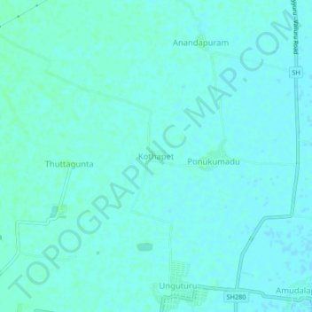
Nom : Carte topographique Kothapet, altitude, relief.
Lieu : Kothapet, Krishna, Unguturu, Andhra Pradesh, 521109, Inde (16.51044 80.86216 16.55044 80.90216)
Altitude moyenne : 9 m
Altitude minimum : 7 m
Altitude maximum : 12 m