
Carte topographique Bradfordville
Carte interactive
Cliquez sur la carte pour afficher l’altitude.
À propos de cette carte
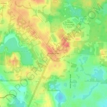
Nom : Carte topographique Bradfordville, altitude, relief.
Altitude moyenne : 51 m
Altitude minimum : 25 m
Altitude maximum : 78 m
Bradfordville is an unincorporated community in northern Leon County, Florida, United States. It is 8 miles (13 km) north of Tallahassee and south of the Florida/Georgia state line by 8 miles (13 km) at the intersection of US 319 and County Road 0342 (Bannerman Road/Bradfordville Road). Elevation is 237 feet (72 m).