
Carte topographique Ao Tanote - อ่าวโตนด
Carte interactive
Cliquez sur la carte pour afficher l’altitude.
À propos de cette carte
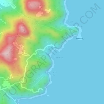
Nom : Carte topographique Ao Tanote - อ่าวโตนด, altitude, relief.
Altitude moyenne : 75 m
Altitude minimum : -2 m
Altitude maximum : 306 m